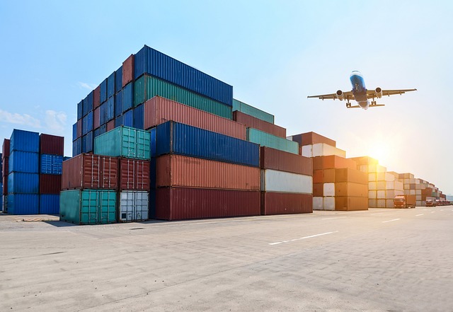
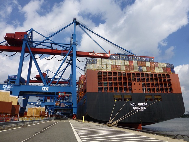
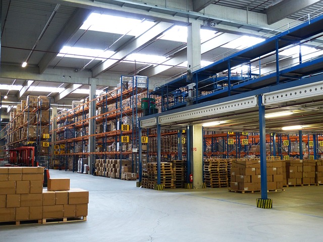
|
|||||||||
3D animation generation service is also provided$B!*(B 3D real time visualisation software City planning, Construction plan $B!!(B
$B!!(B
Measure strike and dip in a single action $B!!(BCan save up to 999 data sets. Save time, save labor! $B!!(B
$B!!(B $B!!(B $B!!(B |
$B!!(B |
$B!|!!(BOcean Bottom Seismograph $B!&(B3 months operation at the 6000m deep seabed $B!!!&(BMore than 2000 TOBS-24 units are being used by government agencies and other clients $B!!!&(BExcellent supporting service For the details, see$B!!(BOcean Bottom Seismograph TOBS-24N$B!!!!(B Enquires$B!'(B support@jx-international.com $B!!(B $B!|!!(B3D Virtual Reality Software for City Planning and Construction Project plan UC-win/ROAD (in real time) $B!&(B3D visualisation and visual examination of construction projects $B!!!&(BProvide design and construction consulation $B!!!&(BVehicle movement animation and driving simulation For the details, see$B!!(B3D real-time visualization software$B!!!!(B Enquires$B!'(B support@jx-international.com $B!|!!(BFinite Element Analysis Software for Geotechnical Engineering $B!!!&(BStability analysis ( canpredict failure surface)$B!!(B $B!!!&(BConsecutive stage analysis (can change parameter and boundary conditions at each stage $B!!!&(BExcavation analysis For the details, see$B!!(BFinite element software$B!!!!(B Enquires$B!'(B support@jx-international.com $B!|!!(B3D Nonlinear Structure Analysis Software $B!!!&(BStability analysis ( canpredict failure surface)$B!!(B $B!!!&(BConsecutive stage analysis (can change parameter and boundary conditions at each stage $B!!!&(BExcavation analysis For the details, see$B!!(BStructure analysis software$B!!(B Enquires$B!'(Bsupport@jx-international.com $B!!(B $B!|!!(BDigital Clinometer with GPS $B!!!!!!(BGeoClino-G$B!!!!!!!!!!!!(B Now you can measure strike and dip in a singel action and don't have to wait until the needle of the compass stops swinging. You can measure trend and plunge very easily, and no more complicated manipulation is needed. You can save up to 999 data sets, and transfer them to a computer for storing or creating a map. You can also store the GPS coordinates (latitude and longitude) together with the data. Small and light. Water tight. For the details, see$B!!(BDigital Clinometer with GPS$B!!!!(B Enquires$B!'(Bsupport@jx-international.com
All rights reserved. Copyright (C) 2010 JX International Pty Ltd$B!!(B |